Hull. 01482 345797
Leeds. 01132 779542
York. 01904 438005
Leeds. 01132 779542
York. 01904 438005
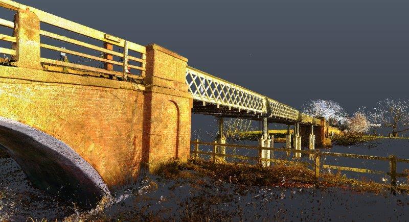
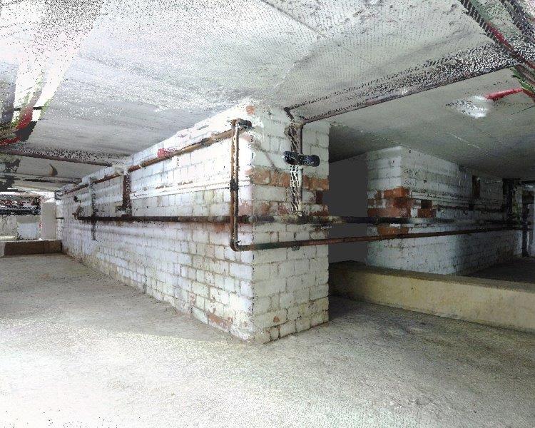
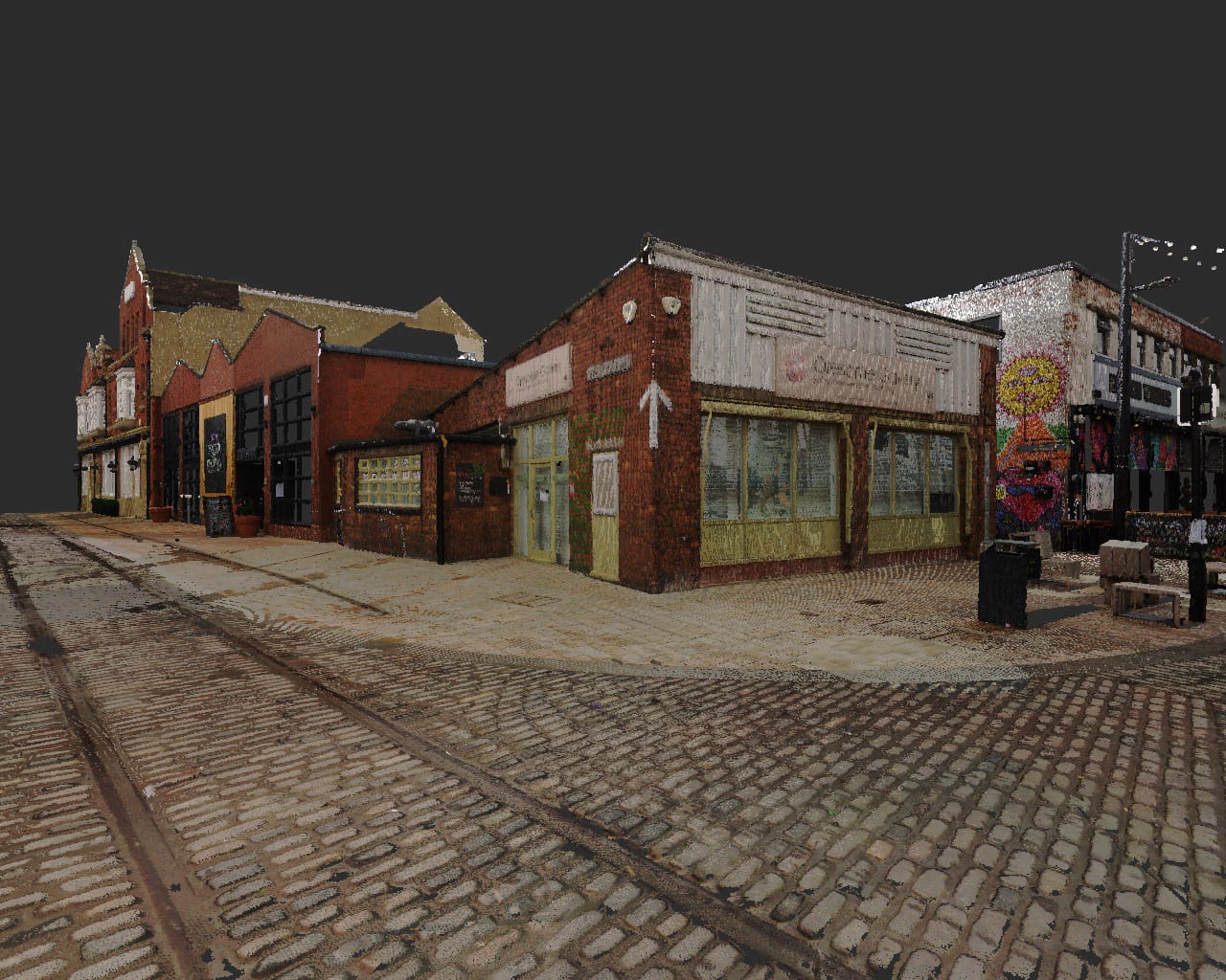
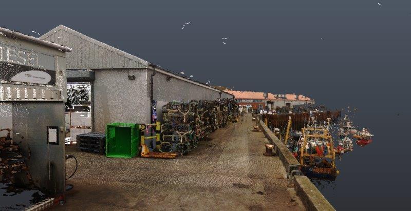
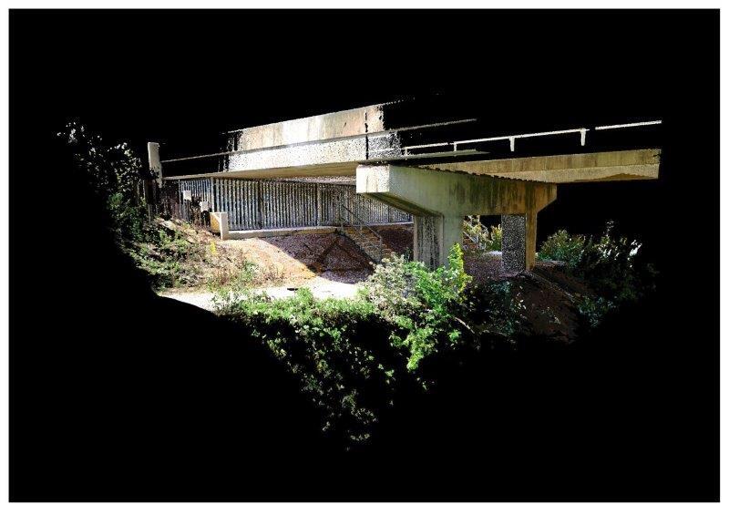
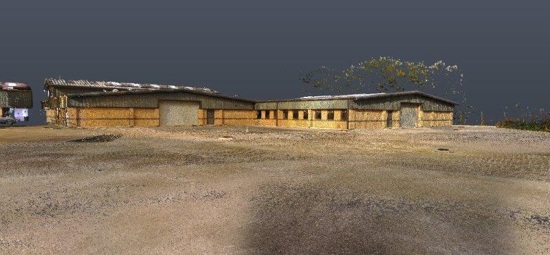
Mason Clark Associates Ltd 3D Laser Scanning technology captures environments, structures and objects in 3D in the form of millions of data points. This data is captured in real-time and is the definitive measured record for many types of projects, and reduces costs by removing the need for site re-visits.
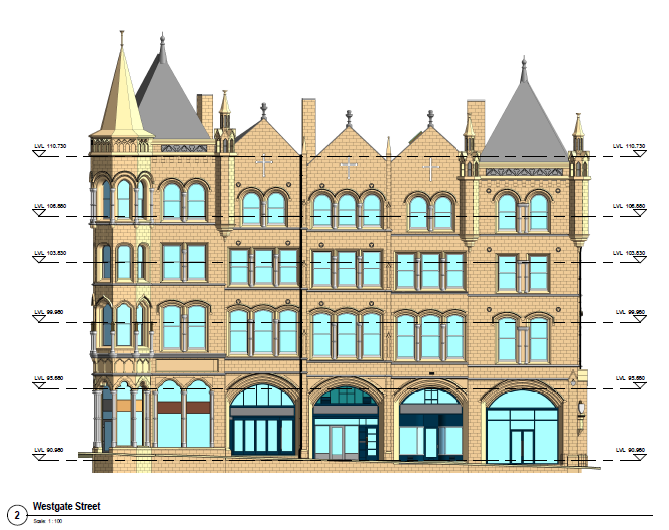
Our expert survey team utilises the latest Faro-series equipment to combine point-cloud laser scanning with high resolution digital photography. From this, we can deliver all forms of measured building surveys, creating outputs that range from basic floor plans to highly detailed Revit models.
All data is made available to the client in cloud based and standalone USB3 hard drive delivery formats.
Key benefits to our clients and project teams are extensive. The process is non-contact, and non-destructive, extremely accurate and fast; the surveys are undertaken with minimal disruption to the users of occupied buildings and are excellent where there are reduced accessibility issues or hazardous environments.
We provide:
Our Point clouds can be joined together and registered to a coordinate system (i.e. Ordnance Survey). Point clouds can also be imported into software such as: CAD packages, Navisworks, Revit and CivilCAD.